Land management infrastructure
How land is being protected, improved and managed through the Transport and Infrastructure SEPP

- Advertising and signage
- Alpine resorts
- Building systems circulars
-
- Apartment Design Guide
- Better apartments
-
- Boarding houses and co‑living housing
- Build-to-rent housing
- Caravan parks, manufactured home estates and moveable dwellings
- Group homes
- In-fill affordable housing
- Retention of existing affordable housing
- Secondary dwellings
- Seniors housing
- Social and affordable housing
- Supportive accommodation and temporary housing
- Housing Support Program
-
- Bayside Council’s housing snapshot
- Frequently asked questions
- Blacktown Council’s housing snapshot
- Blue Mountains Council’s housing snapshot
- Burwood Council’s housing snapshot
- Camden Council’s housing snapshot
- Campbelltown Council’s housing snapshot
- Canada Bay Council’s housing snapshot
- Canterbury-Bankstown Council’s housing snapshot
- Central Coast Council’s housing snapshot
- Cessnock Council’s housing snapshot
- Cumberland Council’s housing snapshot
- Fairfield Council’s housing snapshot
- Georges River Council’s housing snapshot
- Hawkesbury Council’s housing snapshot
- Hornsby Council’s housing snapshot
- How we developed the targets
- Hunters Hill Council’s housing snapshot
- Inner West Council’s housing snapshot
- Kiama Council’s housing snapshot
- Ku-ring-gai Council’s housing snapshot
- Lake Macquarie Council’s housing snapshot
- Lane Cove Council’s housing snapshot
- Liverpool Council’s housing snapshot
- Maitland Council’s housing snapshot
- Mosman Council’s housing snapshot
- Newcastle Council’s housing snapshot
- North Sydney Council’s housing snapshot
- Northern Beaches Council’s housing snapshot
- Parramatta Council’s housing snapshot
- Penrith Council’s housing snapshot
- Port Stephens Council’s housing snapshot
- Randwick Council’s housing snapshot
- Ryde Council’s housing snapshot
- Shellharbour Council’s housing snapshot
- Shoalhaven Council’s housing snapshot
- Strathfield Council’s housing snapshot
- Sutherland Council’s housing snapshot
- Sydney Council’s housing snapshot
- The Hills Council’s housing snapshot
- Waverley Council’s housing snapshot
- Willoughby Council’s housing snapshot
- Wollondilly Council’s housing snapshot
- Wollongong Council’s housing snapshot
- Woollahra Council’s housing snapshot
- Inland Code
- Social housing
-
-
-
-
- Ten simple tips for more inclusive playspaces
- A sensory explosion
- Bowraville Children’s Playspace
- Civic Park Playspace, Warragamba
- Cook Reserve Playspace
- Livvi’s Place, Wagga Wagga
- Livvi’s Place, Warragamba
- Lot Stafford Playspace
- Masterplanned communities
- Melaleuca Village Lake Playspace
- Muston Park Playspace
- St Peters Fences Playspace
- Town Beach Playspace
- Tumbalong Park Playspace
- Waitara Park Playspace
- Wild Play Garden
- Everyone Can Play grant
- Our principles
-
- NSW regional outdoor survey
- Synthetic turf study
- The Greater Sydney Outdoors Study
-
-
- Concurrence and referral reforms
- Employment land strategies
- Employment lands
- Employment zones reform
- Estimated development cost
- NSW Public Spaces Legacy Program
- Planning Reform Action Plan
- Planning pathways for cemeteries
- Priority Assessment Program
- State significant development warehouses and data centres
The State Environmental Planning Policy (Transport and Infrastructure) 2021 provides flexible and orderly planning pathways for essential infrastructure in NSW. This makes it easier to protect, improve and use land in NSW.
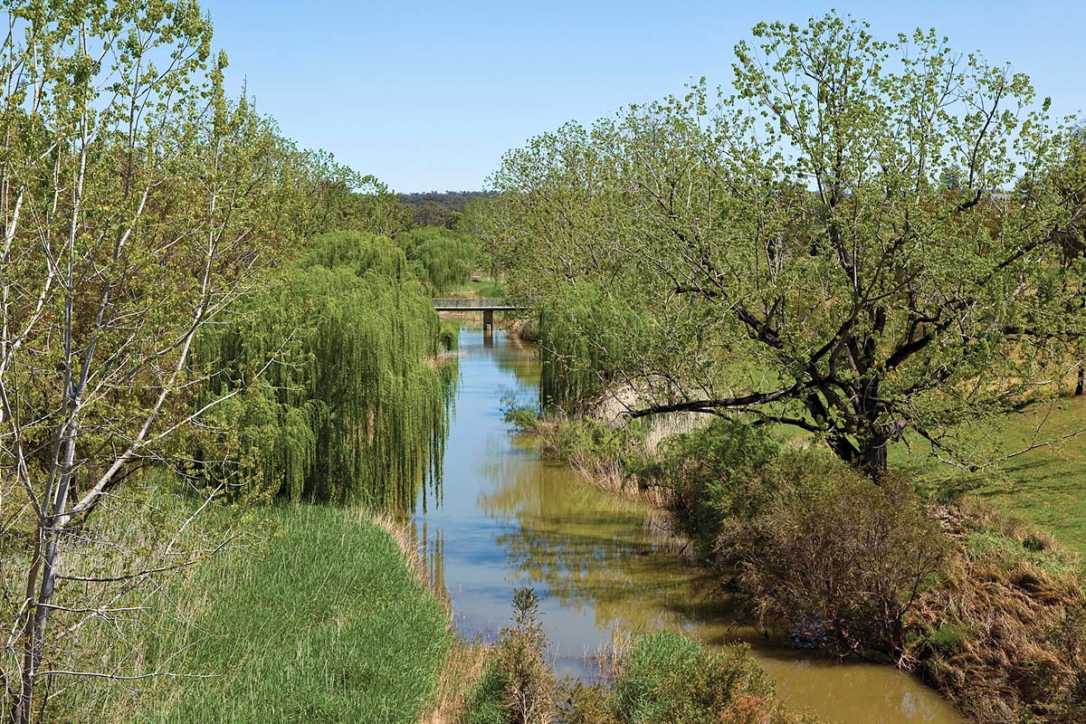
Infrastructure to rehydrate the landscape
Putting water back into the landscape involves using natural materials, such as plants, logs and rocks, to support a catchment's flow. This slows the stream and raises water levels so water is kept in the landscape for longer periods, allowing it to seep into the nearby soil. Rehydration infrastructure aims to:
- improve soil health and plant growth
- reduce erosion
- moisten the soil.
The infrastructure does not take water or prevent fish from swimming from one place to another.
In December 2022, we changed the policy. The changes included a new planning pathway for landscape rehydration infrastructure. NSW farmers can now repair, restore and rehydrate dry land without relying on rainfall. This is thanks to the policy's provisions (legal conditions) that permit landscape rehydration infrastructure as development without consent (or a Division 5.1 Assessment).
The planning pathway has made it easier for landowners to restore streams on their property without development approval. Landowners must still arrange an environmental assessment and get state agency approvals.
For more information go to Development without consent.
Guideline for landscape rehydration infrastructure
Our step-by-step guideline Landscape rehydration infrastructure works – approvals and procedures details the approvals farmers need to carry out landscape rehydration techniques.
These techniques aim to rehabilitate eroded streams.
The Planning Secretary issued the guideline under Section 170 of the Environmental Planning and Assessment Regulation 2021, which commenced on 20 March 2023.
Read the Landscape rehydration infrastructure works – approvals and procedure.
More information
For more information on the changes, email the policy team at [email protected]